Portfolio

Forest Monitoring

Published:

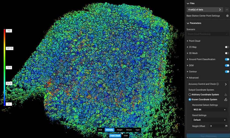
Tropical forest monitoring research at Universiti Brunei Darussalam fuses Sentinel satellite imagery, drone data, and LiDAR point clouds using custom deep networks like FCD-AttResU-Net. This pipeline automates 3D canopy analytics, tracks long-term vegetation disruptions, maps invasive tree species near the Andulau Forest Reserve, models peatlands, and analyzes forest dynamics alongside overlapping natural landscape features.
Data-Driven Water Quality Analysis

Published:

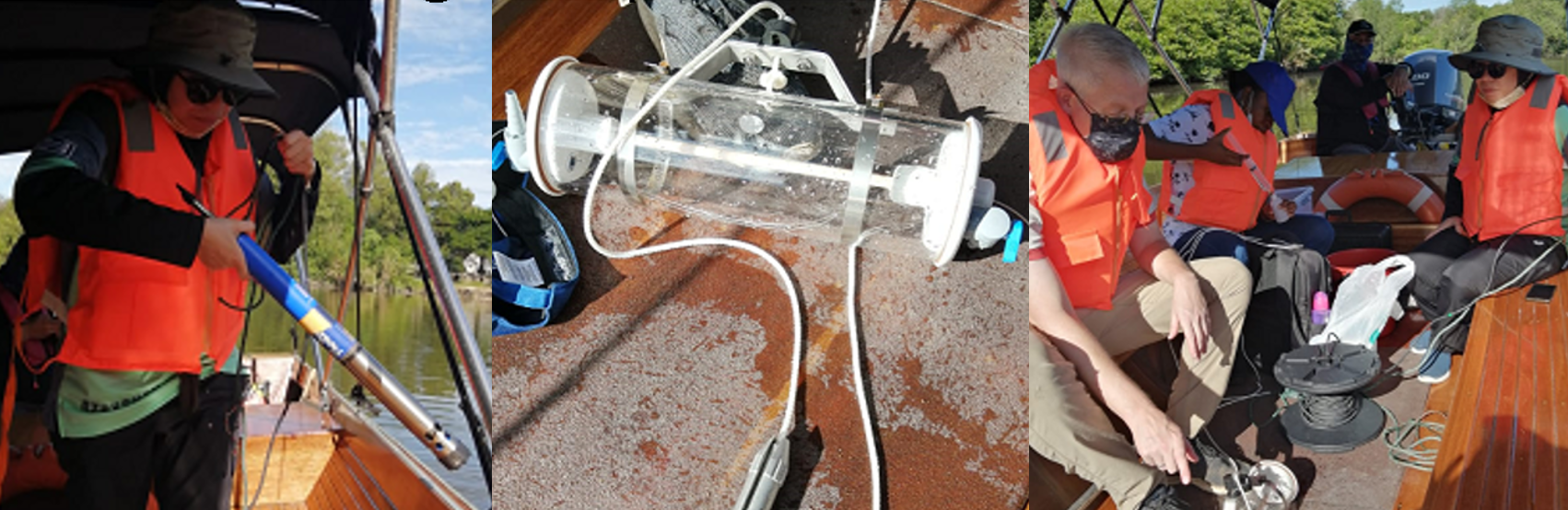
This research integrate applied data science, machine learning, and Water Quality Indices (WQI) to model pollution status, climate change impacts, and spatiotemporal dynamics across vital ecosystems like the Brunei River, converting complex multi-parameter data into actionable environmental baselines.

Clustering/Unsupervised/Semi-supervised Learning

Published:

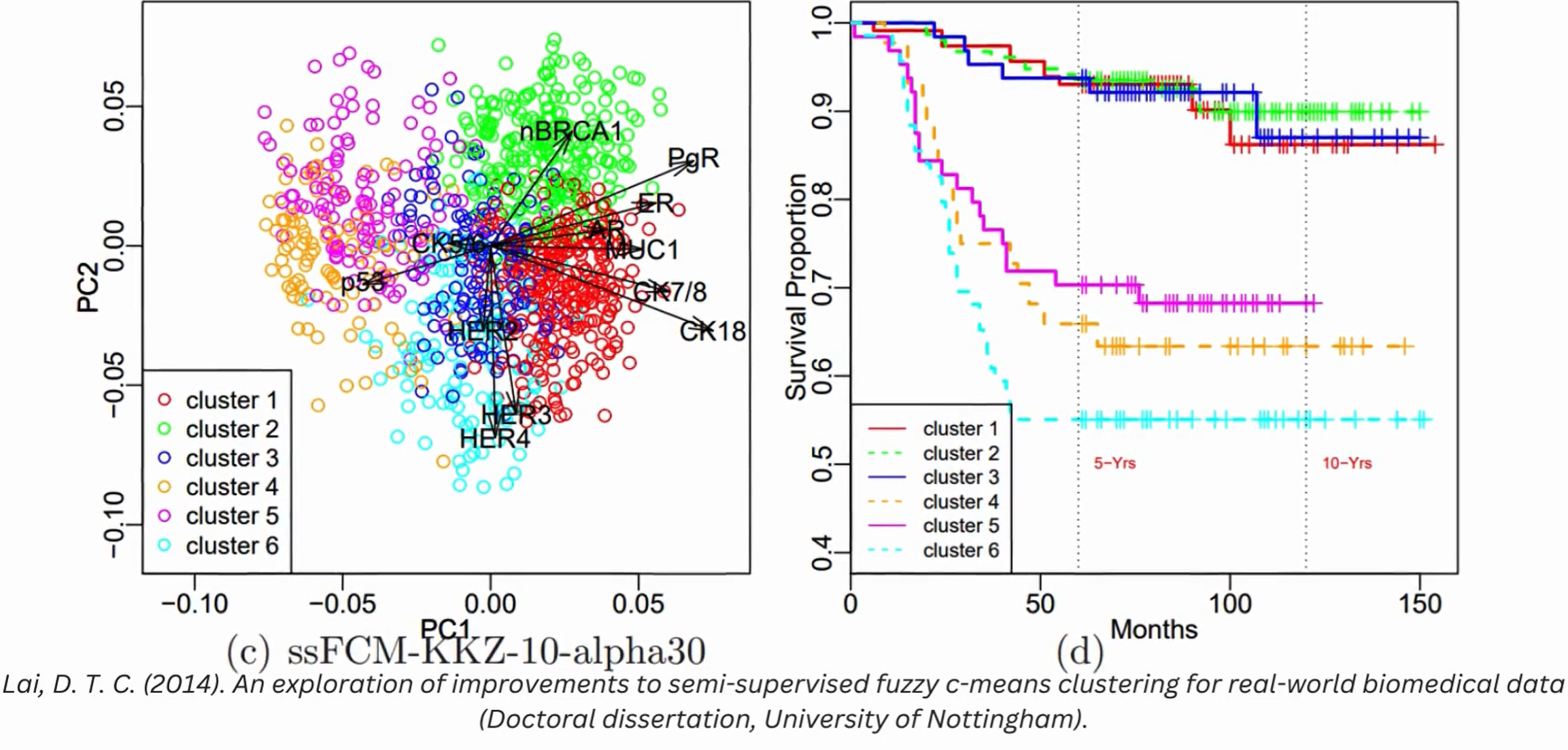
Unsupervised learning research at Universiti Brunei Darussalam utilizes semi-supervised, evolutionary, and self-supervised clustering to model complex systems. Key applications include mapping spatiotemporal water quality along the Brunei River, characterising tropical peatlands, and executing human activity discovery using advanced spline-based self-supervised models to map multidimensional behavioral and environmental trajectories.