Forest Monitoring
Published:
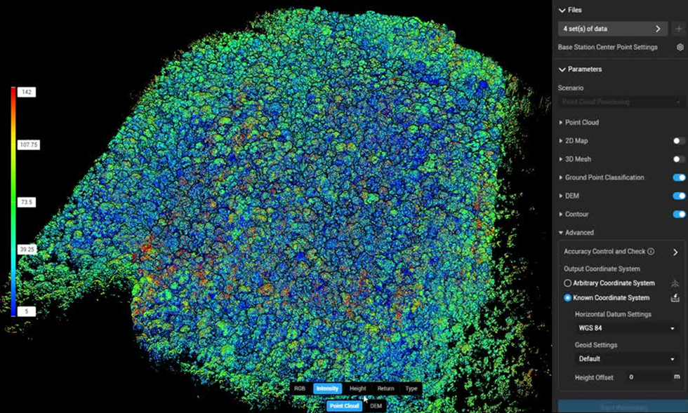
Tropical forest monitoring research at Universiti Brunei Darussalam fuses Sentinel satellite imagery, drone data, and LiDAR point clouds using custom deep networks like FCD-AttResU-Net. This pipeline automates 3D canopy analytics, tracks long-term vegetation disruptions, maps invasive tree species near the Andulau Forest Reserve, models peatlands, and analyzes forest dynamics alongside overlapping natural landscape features.